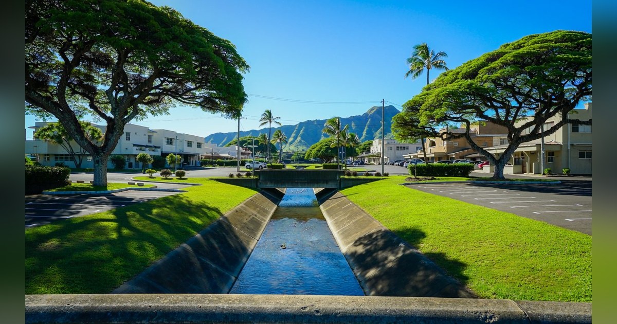
The June 10, 2026, effective date of FEMA's updated Flood Insurance Rate Maps for the City and County of Honolulu marked the first island-wide remapping in more than a decade, and it did more than revise insurance requirements. The City reports approximately 3,700 parcels moved into Special Flood Hazard Areas for the first time, with zones redrawn along close to 100 miles of Oahu streams. For owners and developers, the change is not primarily about insurance cost. It is about what can be built.
The immediate effect of a new designation is on elevation and foundation requirements, which feed directly into site plans. "Their design assumptions changed overnight," says Mike Perkins of The Bratton Team at Colliers International Hawaii, describing owners who found their parcels newly mapped. The scale can be substantial: Perkins points to one commercial development where the new mapping eliminated roughly sixty percent of the buildable area as originally planned. That area was ultimately recovered through site improvements, raising portions of the parcel, but the solution required redesign work and infrastructure cost not in the original budget. A zone change rarely makes a site undevelopable, but it changes what developing it requires, and the cost of discovering that late is far higher than checking early.
Chapter 21A of the Revised Ordinances of Honolulu now applies to all properties within a Special Flood Hazard Area, requiring new construction and substantial improvements to have the lowest floor at or above the required flood elevation. Residential buildings must be elevated, while commercial buildings can often be flood-proofed instead, giving commercial developers a route residential ones lack. Coastal high hazard zones carry stricter rules on foundations and enclosures. Raising a building affects ground floor area, parking layout, and access, and on smaller coastal lots those constraints can reduce what is realistically buildable below what zoning permits on paper. For a developer, zoning density and achievable density are now two different numbers on any site inside an SFHA, and only one is in the zoning code.
The market response follows a recognizable pattern: an immediate discount driven by uncertainty, followed by pricing that settles around known costs once insurance and compliance figures become clear. That creates a window for buyers willing to commission the engineering work, because a parcel priced on uncertainty is valued less precisely than one where costs are established. Perkins flags that buyers are not yet checking the new maps consistently, and that it is catching people out. Three checks now belong in due diligence: confirm the current flood zone against the updated maps rather than prior knowledge, obtain an elevation certificate that establishes where the structure or grade sits relative to base flood elevation, and price Chapter 21A compliance into the development budget, where costs vary widely enough that Perkins describes them as sometimes sufficient to cancel a project outright.
Owners who believe the mapping is wrong have two routes. A Letter of Map Amendment is relatively inexpensive and quick and can remove the mandatory insurance requirement where an elevation certificate shows the structure or grade sits above base flood elevation. A Letter of Map Revision revises the map itself with new engineering data; it is costly and slow and generally makes sense only for larger sites or groups of owners acting together. The distinction matters because a number of affected properties sit well away from visible water and are mapped on modeled stream behavior rather than observed flooding. For developers, the broader conclusion is that Oahu's buildable land has been quietly re-sorted, and knowing which sites still pencil has become part of underwriting. Current Hawaii commercial inventory reflects a market where that distinction is becoming more visible.